VA Bridges and Structures Mapbook Series
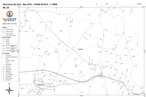
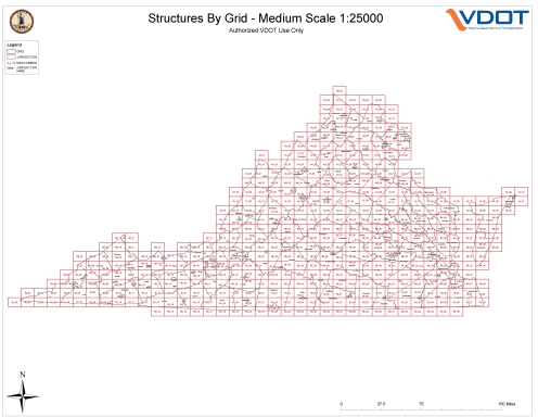
I worked on this Mapbook series at VDOT. The maps show the Bridges and Structures in Virginia along with roads and water features. The advanced MapPlex labeling engine was used to label these maps. The labels include variable leader lines to label the bridges and structures, repeating labels for the water features based on map unit spacing and elimination of duplicate and small road labels. This Mapbook series is actually three Mapbooks. One at large, medium and small scale. (1:12500; 1:25000; 1:50000). Each scale’s Mapbook includes a grid map to locate individual maps. The 1:12500 scale Mapbook consist of 1700 individual maps, the 1:25000 scale Mapbook consist of 485 individual maps, and the 1:50000 scale Mapbook consist of 140 individual Maps. These maps will be used by VDOT crews in the field to locate bridges and structures.
The Bridges and Structures have been turned off on these examples as this data is deemed sensitive by VDOT.


